To keep freight moving, carriers, shippers, and the drivers they rely on must consider a variety of issues that the average commuter does not. Mapping systems, for instance, give businesses the ability to pinpoint the location of their assets, their route, and the estimated time of arrival, which will help them enhance the productivity of their fleets while also delivering top-notch customer service.
There are around 3.5 million truck drivers in the US as of 2021, and mapping software is essential to keep them safe and on the right track. Let’s examine how the usage of purpose-built maps and navigation tools is vital for commercial transportation and logistics companies due to practical challenges, legal constraints, and safety issues.
Read on to learn more about mapping, the advantages it may offer your company, and how to select the finest one for your business.
The difficulties that commercial operations encounter range from the back office to the driver’s seat. Overcoming those obstacles depends on information being gathered and presented in a way that recognizes what commercial drivers need to know to deliver their goods safely and effectively.
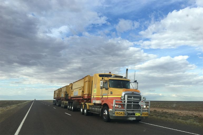
Along with the loads carried and the route conditions, there are many physical and logistical difficulties. For instance, various vehicle sizes may restrict the routes that trucks can take without worrying about crossing lines, colliding with bridges, or coming across perilous crossings.
In order to avoid difficulties like this one, you can utilize interactive maps. Any map generated by mapping software will ease your driver’s duties by safely arriving on time at any destination needed. You can accomplish a lot with a mapping tool, whether you are a small or large company organization.
The best way to utilize maps in your trucking business is to create interactive maps which you can personalize to your needs. For instance, Mapize Google maps-powered software can help out your truck drivers find every location without any struggle. This means you’ll get an unmatched performance with world-class tools and you can expect global coverage.
Carriers are better able to avoid the movements and situations that put their drivers at risk by accounting for a vehicle’s size, road constraints, and load while planning a route. Additionally, these systems take into account the rules created to protect drivers and their cargo.
As a result, more deliveries can be completed, miles can be tracked more precisely, and drivers are happier with their jobs because it saves time, money, and resources. Routes planned using methods designed for regular cars may take longer than they can reasonably forecast for commercial vehicles, leading to unpaid kilometers, delayed arrivals, and irate clients.
In the end, these advantages can give your clients a better experience. Carriers can more properly calculate mileage rates, bill and pay drivers, and receive useful operational information when their routes are designed on commercial maps.
Simply put, the fact that interactive maps and navigational aids take physical risks and legal requirements into account sets them apart from consumer-grade products. The following characteristics of the vehicles, their loads, and their itineraries are among many others:
When these factors are taken into consideration, routes for commercial trucks using maps and navigation tools designed for them as compared to those designed for regular drivers can differ significantly.
It’s difficult to fine-tune these maps and tools. For instance, some commercial vehicle solutions employ a group of hundreds of GIS and map data specialists that perform hundreds of daily road alterations based on construction, closures, rules, the installation of new roads, and other factors. The group goes so far as to draw border polygons around tens of thousands of potential sites.
With geofences, it is simple to observe when a truck’s GPS has entered or exited a given area; this allows the business and its client to be instantly informed of arrivals and departures.
If you work as a commercial driver, the road and the methods you use to travel may appear completely different than driving your personal vehicle for everyday purposes. Suddenly, the consumer-grade navigation program you rely on for personal use has some serious flaws that could result in lost time and earnings, and safety risks when operating a truck. To keep freight moving, carriers, shippers, and drivers must consider using interactive maps and navigation tools to improve their work and safety.

Automotive Addicts Contributors are a collective of guest writers, industry professionals, and passionate enthusiasts who bring fresh perspectives to the Automotive Addicts platform. Focused on delivering timely news, in-depth reviews, and unique insights, these contributors help keep the site dynamic and engaging. Many use the platform to expand their reach and build credibility within the automotive media world, adding depth and variety to the content that drives the Automotive Addicts community.


